Skip to content

Author: mabegypt

  • Bureau update — the system grows | تحديث المكتب

    This week the bureau’s digital side grew four new muscles. الأسبوع ده الجانب الرقمي للمكتب كبر بأربع عضلات جديدة.

    • Capabilities page — صفحة الإمكانيات: a new solid-block page separating what we own (manpower, machinery, infrastructure, systems) from what we do. En/Ar.
    • Interactive services wheel — عجلة الخدمات التفاعلية: every stage now opens with who handles it, what lands on your desk, and the equipment behind it.
    • Archive intake pipeline — خط إدخال الأرشيف: drop a file in the office folder and it lands in Drive, the database, and the live map — automatically. 1,385 projects now indexed, 907 auto-classified by type.
    • Arabic ⇄ English toggle — الموقع بالعربي: the site now speaks both languages; flip it from the header.

    More next week — the archive backfill begins. الأسبوع الجاي: استكمال بيانات الأرشيف.
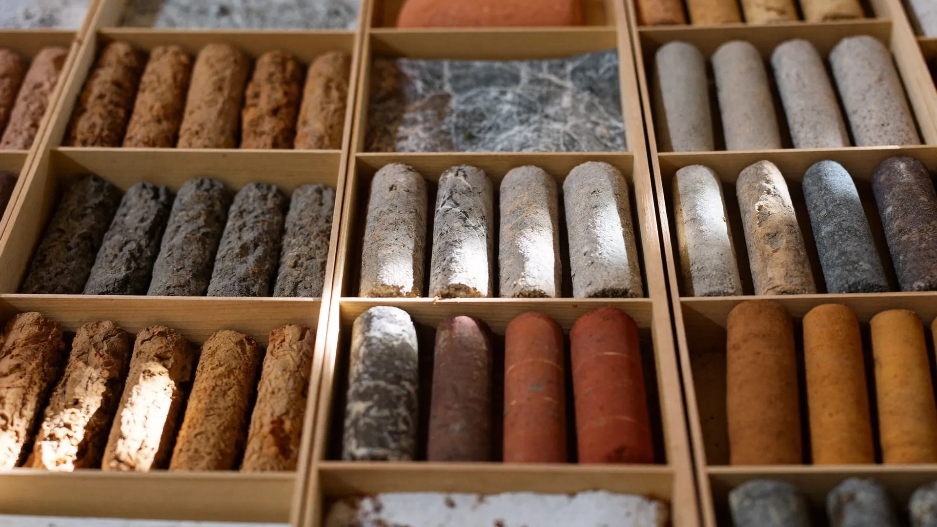
  • ليه الرمل المفكك خطر على المباني؟ — وإزاي بنحسّنه

    ليه الرمل المفكك خطر على المباني؟ — وإزاي بنحسّنه

    الخلاصة في سطر: الرمل المفكك بيهبط تحت الحمل، وممكن يتحول لسائل وقت الزلازل — وتحسين التربة قبل البناء بيرفع قدرة التحمل وبيقلل الهبوط والمخاطرة. دي أول ورقة في سلسلة أسبوعية من دفتر المكتب.

    ليه الرمل تحدي في البناء؟

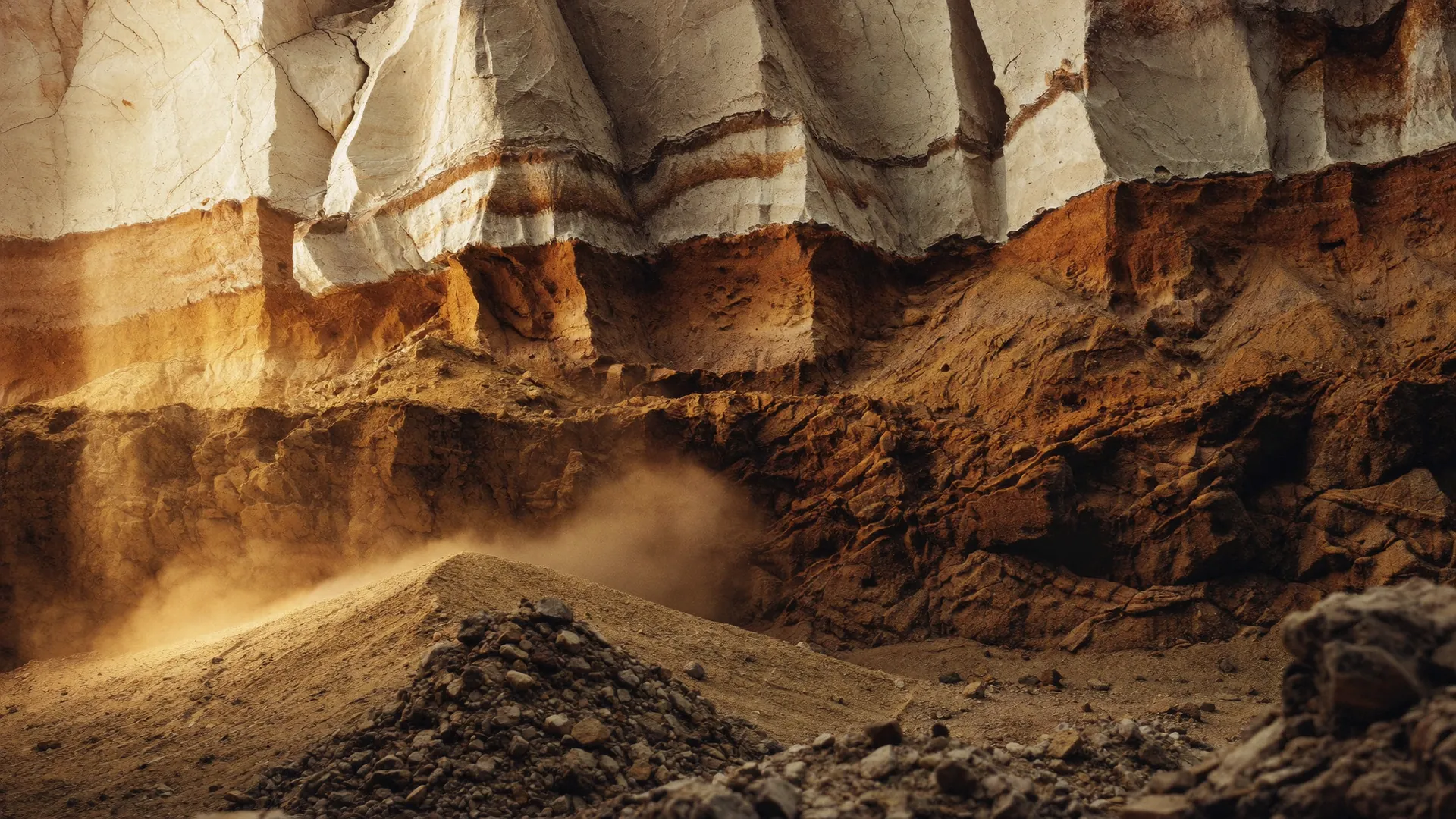
    قبل ما نبني بأمان، لازم نعدّي على شوية مشاكل مخفية: الرمل المفكك قدرة تحمله منخفضة، وبيهبط بسرعة تحت الأحمال الثقيلة، ومفيهوش تماسك طبيعي — والظروف دي بتقلل ثبات الأساسات.

    والأخطر: الرمل المفكك المشبع بالمياه ممكن يتصرف كأنه سائل أثناء الهزات — ظاهرة التسييل (Liquefaction). ونفاذيته العالية بتسمح للمياه تتحرك بسرعة، وده بيزود خطر النحر.

    إيه اللي بنعمله في تحسين التربة؟

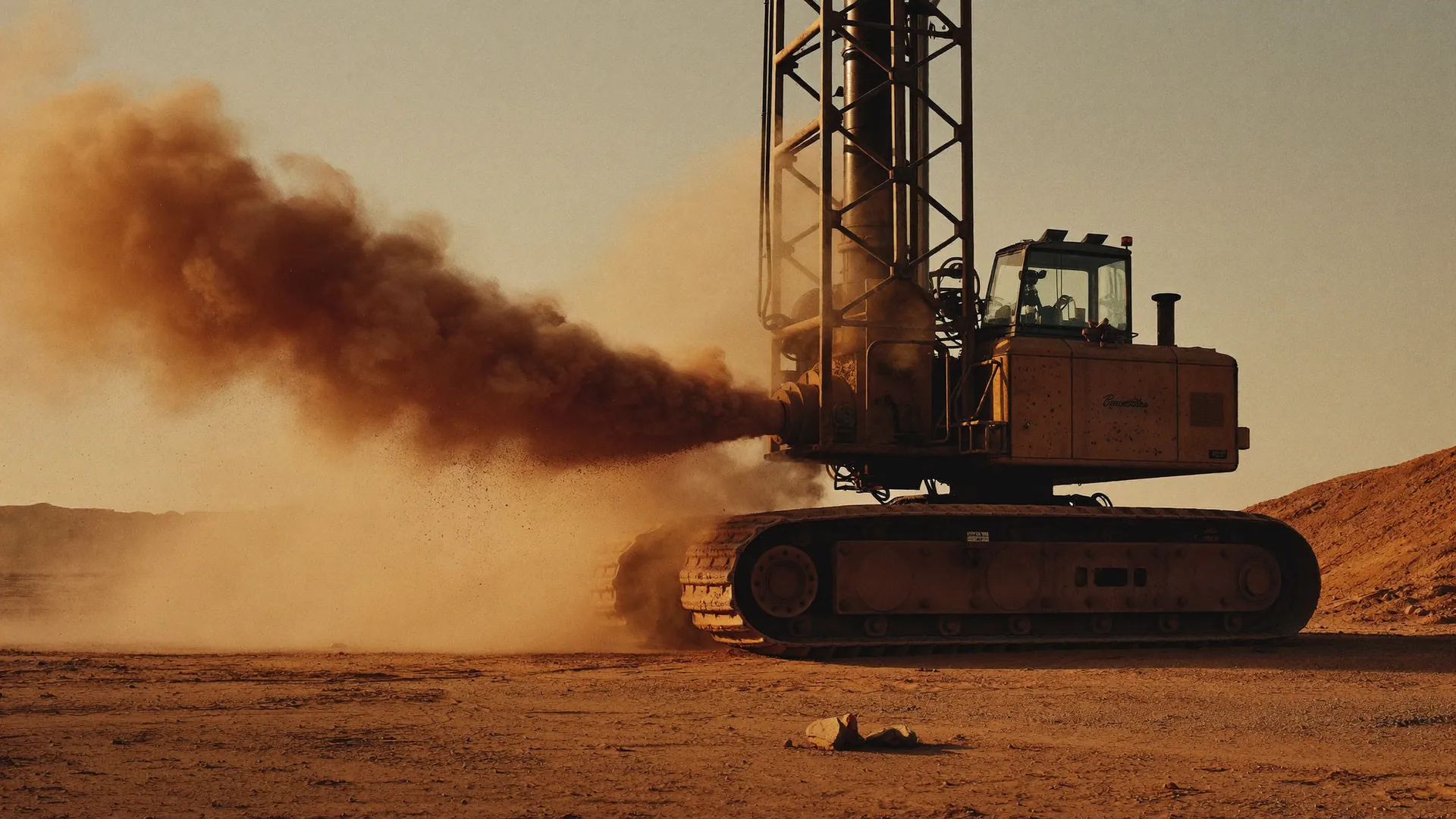
    الهدف الأول: زيادة الكثافة النسبية وتحسين مقاومة القص — أرض أقوى وأكثر ثباتًا. وبعدها: رفع قدرة التحمل وتقليل الانضغاطية، فالأساسات تشيل أحمال أتقل بهبوط أقل بكتير.

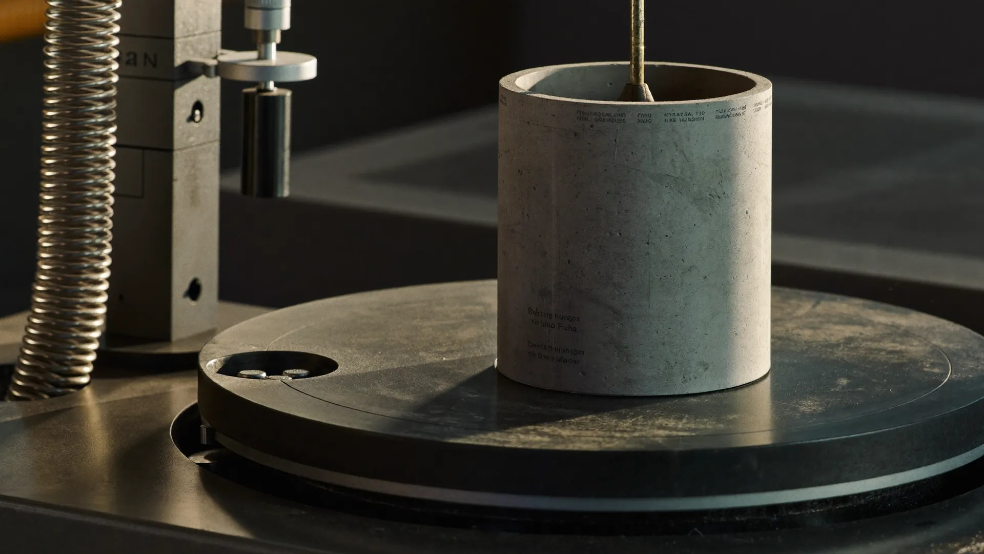
    التحسين الناجح بيقلل خطر التسييل، وبيتحكم في النفاذية عند الحاجة، وبيوفر أساسًا آمنًا ومتينًا للمنشأ — وده اللي بنراجعه بالقياس، مش بالرأي: جسات، تجارب معملية، وتقرير موقّع.

    عايز تعرف أرضك محتاجة إيه؟

    ابعت لنا موقع الأرض ومرحلتك على عجلة الخدمات — وهنقولك الأرض مخبية إيه. كلمنا هنا.

    In one line: loose, saturated sand settles under load and can liquefy in earthquakes — ground improvement densifies it, raises bearing capacity, and protects the foundation. Measured, tested, and signed — the MAB way since 1985.

  • Four decades, five pillars: MAB is online

    Four decades, five pillars: MAB is online

    In 1985, Prof. Dr. Mahmoud Abdel Fattah Mahmoud opened a consulting office in Alexandria for soil investigation and quality control. Forty years and more than 5,000 projects later, that office has grown into five connected pillars — consulting, geoenvironmental contracting, HOA services, Ardy agribusiness and Salek infrastructure — chaired by Eng. Karim Mahmoud Abdelfattah.

    This site is the new home of that ecosystem. The project map grows as we log our archive; this journal will carry case studies, lab notes and field engineering updates from our teams.

    The discipline stays the same as 1985: market quality at a better price, no commissions, no marketing fees — and we execute our own work.

  • Gymnasium Hall Rehabilitation — Marsa Matrouh

    Gymnasium Hall Rehabilitation — Marsa Matrouh

    Location: 31.352° N, 27.245° E — Marsa Matrouh

    Inspection and rehabilitation design for a reinforced-concrete gymnasium hall: core testing, Schmidt hammer surveys, and a full repair methodology for the structure.

  • Sant-Katrin Village — North Sinai

    Sant-Katrin Village — North Sinai

    Location: 31.1° N, 33.8° E — North Sinai

    A full programme of boreholes, sampling and laboratory testing for a village development in North Sinai Governorate.

  • Golden Five Resorts Lift Line — Hurghada

    Golden Five Resorts Lift Line — Hurghada

    Location: 27.18° N, 33.8° E — Hurghada, Red Sea

    Foundation investigation for the resort lift line under Red Sea coastal conditions — saline groundwater, coralline soils, and resort-scale loading.

  • Blue Horizon Tower — El-Mandara, Alexandria

    Blue Horizon Tower — El-Mandara, Alexandria

    Location: 31.272° N, 30.017° E — El-Mandara, Alexandria

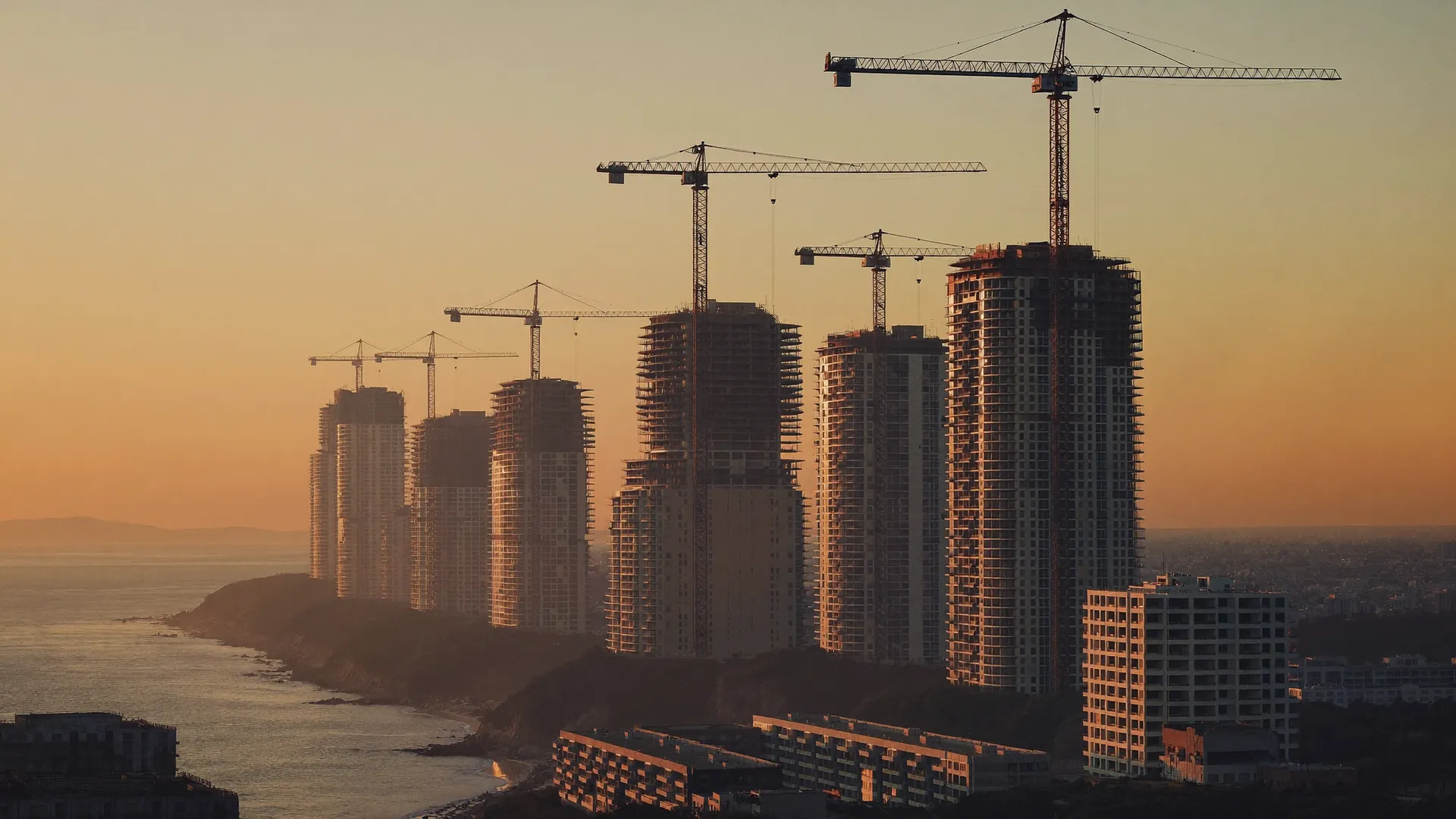
    Design review and field supervision for a 20-storey residential tower — one of dozens of Alexandria high-rises founded on MAB geotechnical work.

  • Marseilia Beach Village — Km 75, North Coast

    Marseilia Beach Village — Km 75, North Coast

    Location: 31.01° N, 29.12° E — North Coast

    Geotechnical investigation for the beach village at Km 75, plus groundwater control at Marseilia Florance: a 10,000 m² site, six towers of ten storeys, with a single basement across all buildings.

  • Qasr Gas — Khalda Petroleum, Western Desert

    Qasr Gas — Khalda Petroleum, Western Desert

    Location: 30.5° N, 26.5° E — Western Desert

    On-site quality-control laboratory and materials testing for gas facilities deep in the Western Desert — remote-site logistics, full concrete and soil QC programme.

  • Gas Oil Maximization Project — Alexandria Petroleum Co.

    Gas Oil Maximization Project — Alexandria Petroleum Co.

    Location: 31.184° N, 29.885° E — Alexandria

    A complete geotechnical investigation and quality-control programme for a major refinery expansion: field sampling, laboratory testing, and foundation recommendations issued to the Egyptian Code of Practice.